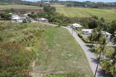
Pickerings Development is located in close proximity to the ABC Highway, just a stone’s throw away from the well reknowned St. Lucy Parish Church and Mount Gay Distillery.
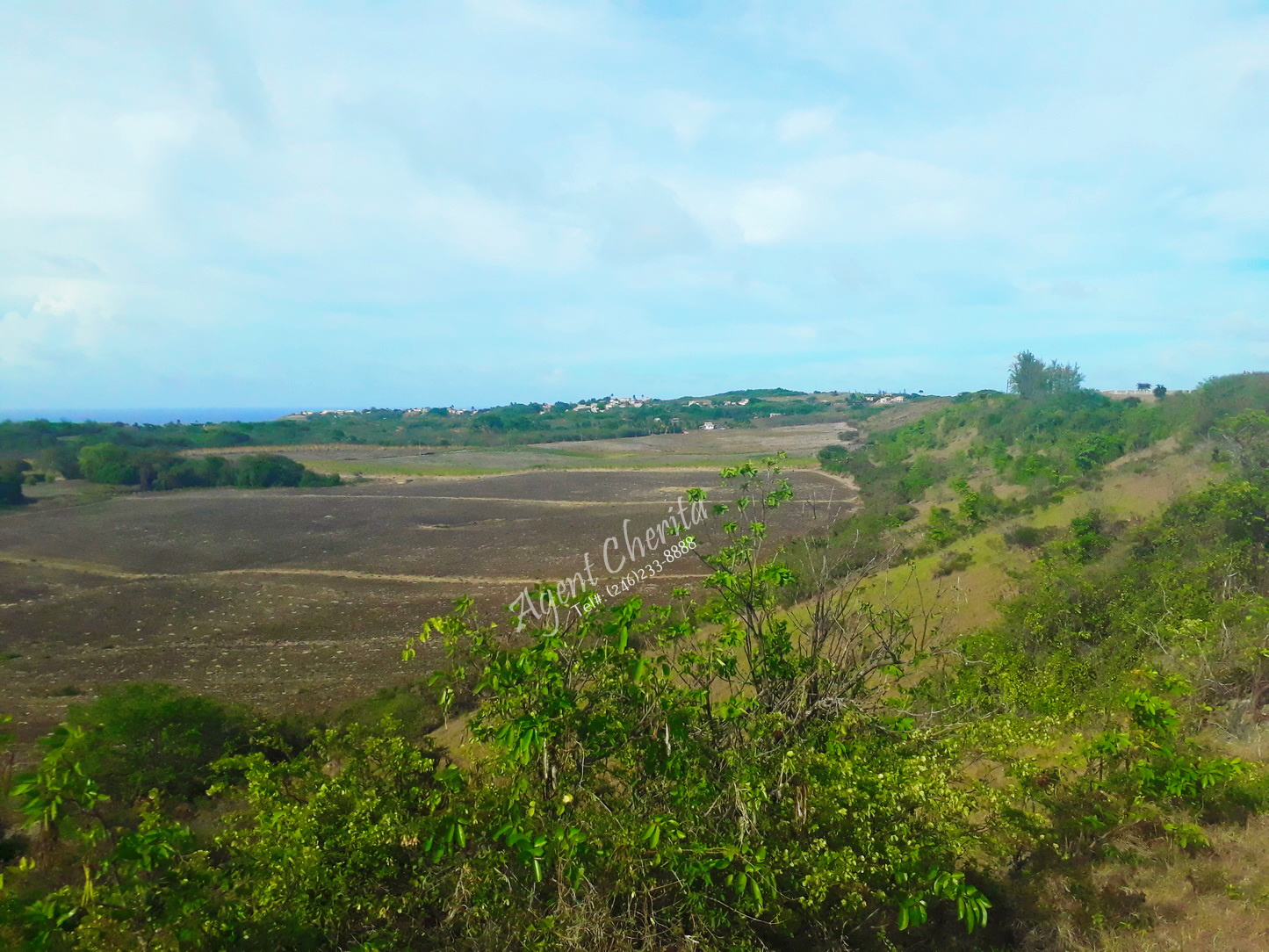
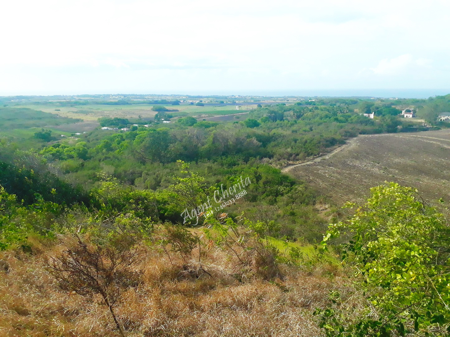
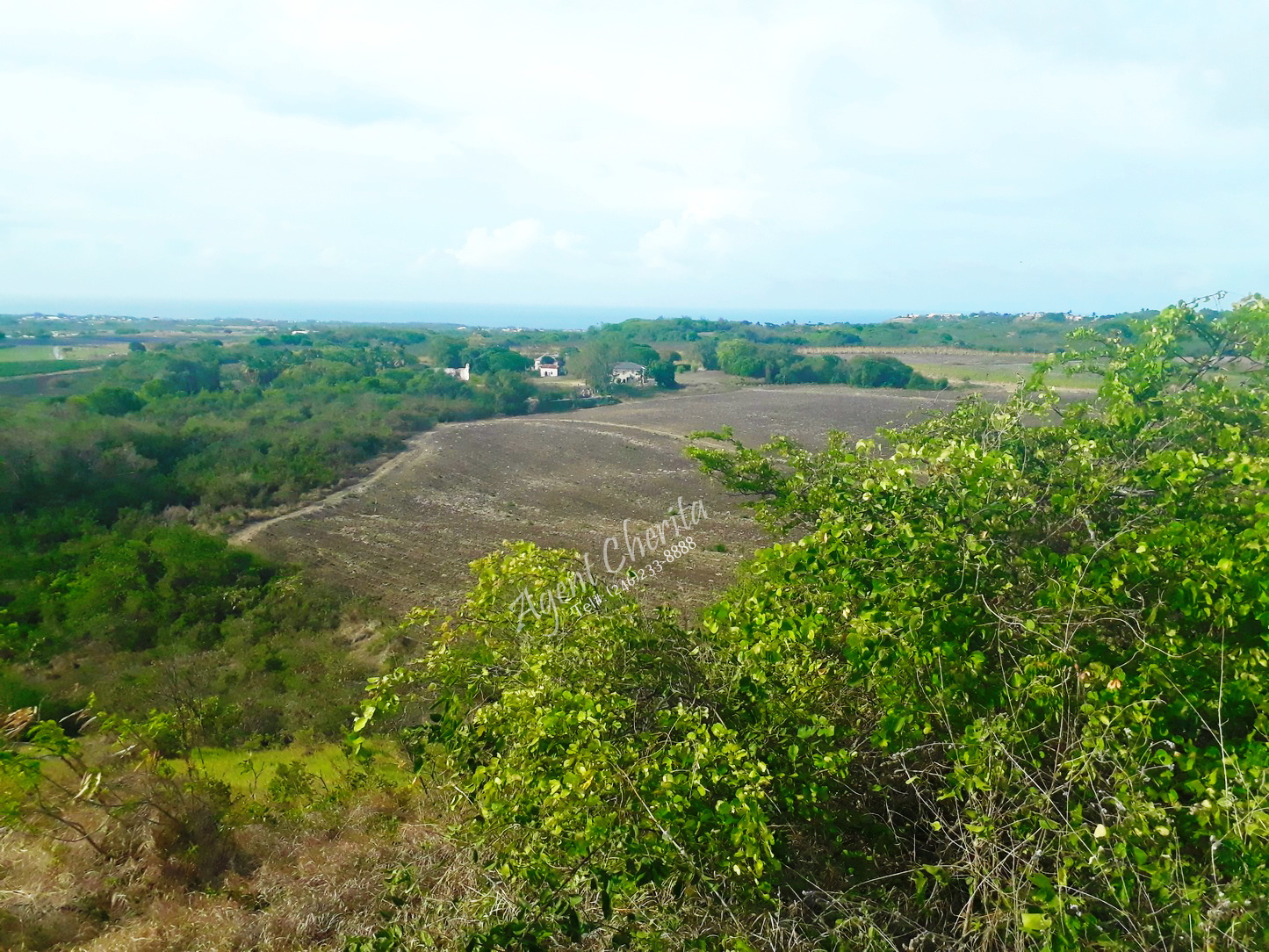
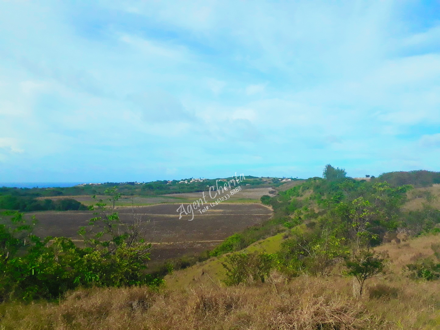
Flanked by the ridge front of Mount Gilboa to the south, this 220 acre plot flows into lush fields below and includes the buildings of Pickerings Plantation. It abuts Castle to the east, Fairfield to the west and the Daryll Jordan Secondary School to the north.
The property currently has planning permission for change of use from Agriculture to a number
of Use Classes. There is a commercial section, organized along the highway, with the potential of a Town Centre, ideal for the Fairfield area adjacent to the parish Church. This highway continues eastward up to River Bay which is likely to be one of the next undeveloped growth centers for tourism.
The proposed Second Airport has been identified for an area to the north of this corridor on government lands occupied by the Hope Plantation.
The Pickerings Development embraces a balanced mixed use matrix. This comprises provisions
for:
- 160 low income homes 136 middle income homes.
- 260 middle to upper income homes
- 252 two and three bedroom Townhouses
- 60 Upper Income Homes
- 513,000 ft.² of Commercial and Shopping Facilities
- 174,000 ft.² of Industrial Facilities
- 148,400 ft.² of School & Daycare Facilities
- 162,000 ft.² Fish Farm & Processing Complex
- 322,400 ft.² of Sewage Treatment Plant.
The development is planned such that it takes advantage of the main artery to Speightstown
and to which all feeder roads join.
The site, particularly the ridge lots, enjoys a panoramic view of the northern coastline because of its terraced elevations.
Property details:
Property address:
Related properties
Ebenezer
Ebenezer Methodist Church, Ebenezer, Saint Philip Barbados
Maynards (Sunset Heights)
Maynards, Saint Peter Barbados
Coral Cliffs – Bottom Bay
Bottom Bay Road, Apple Hall, Saint Philip Barbados
White Hall
White Hall, Saint Peter Barbados